
November 14, 2025 · Spectrum GIS Team
The Evolution of Maps: From Clay Tablets to AI-Powered GIS
Maps are humanity’s oldest data visualization tool — and they’re still evolving faster than ever. What began as scratches on cave walls now powers real-time flood alerts, self-driving cars, and climate models that predic
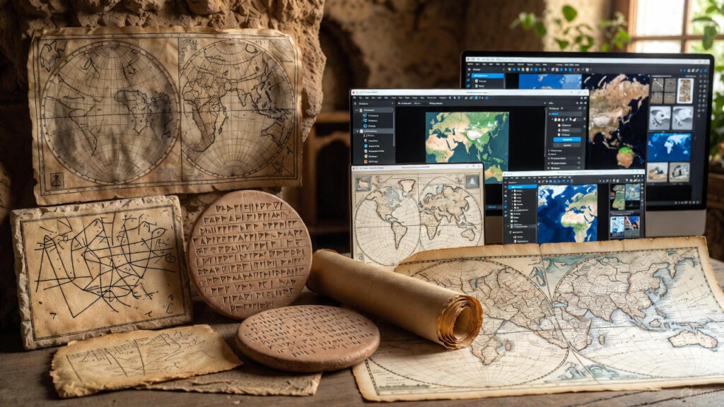
Maps are humanity’s oldest data visualization tool — and they’re still evolving faster than ever.
What began as scratches on cave walls now powers real-time flood alerts, self-driving cars, and climate models that predict the next century.
At Spectrum GIS Solutions, we live at the cutting edge of this 10,000-year journey. Here’s how maps evolved — and where GIS is taking them next.
8000 BCE: The Dawn of Spatial Thinking
Insight: Early maps were stories, not measurements.
200 BCE – 1500 CE: The Age of Exploration
Fun Fact: The Mercator Projection (1569) still warps Greenland to Africa-size — a reminder that all maps distort.
1600–1900: The Science of Surveying
Stat: By 1850, France had a 1:80,000 national map — 80,000 sheets hand-drawn.
1900–1980: The Analog Revolution
Turning Point: 1962 — Canada Geographic Information System (CGIS) Dr. Roger Tomlinson builds the first true GIS to map land use. “Father of GIS” coined here.
1980–2000: The Digital Dawn
Quote: “GIS is not about maps. It’s about answering questions with location.” – Jack Dangermond, Esri
2000–2020: The Web Map Explosion
Stat: By 2020, 1 billion+ people used digital maps daily.
2020–2025: The AI + Real-Time Era
Case Study: Spectrum GIS built a digital twin for a coastal city:
- Inputs: LiDAR, tide gauges, traffic cams
- Output: 72-hour storm surge forecast in 3D
- Result: Evacuated 14,000 before landfall
Timeline: 10,000 Years in One View
- 8000 BCECave PaintingsÇatalhöyük Map600 BCEBabylonian Tablet150 CEPtolemy’s Grid1569Mercator Projection1791Ordnance Survey1962First GIS (CGIS)1982ArcInfo2004OpenStreetMap2005Google Maps2025AI Digital TwinsReal-Time GISEvolution of Maps
What’s Next? (2030 Vision)
Spectrum GIS is building it now: Contact us to co-create the next map.
Your Map Evolution Starts Today
Try This: Open QGIS → add OSM → trace your street
- Level Up: Download historical maps → georeference in QGIS
- Go Pro: Book a free GIS Strategy Session
What’s the oldest map you’ve ever used? Comment below — we’ll georeference it for you.
Next: “How AI is Writing the Next Chapter of Cartography” Subscribe | Download Map Evolution Timeline PDF
SEO Tags: history of maps, evolution of cartography, GIS history, from paper to digital maps, future of GIS, Spectrum GIS